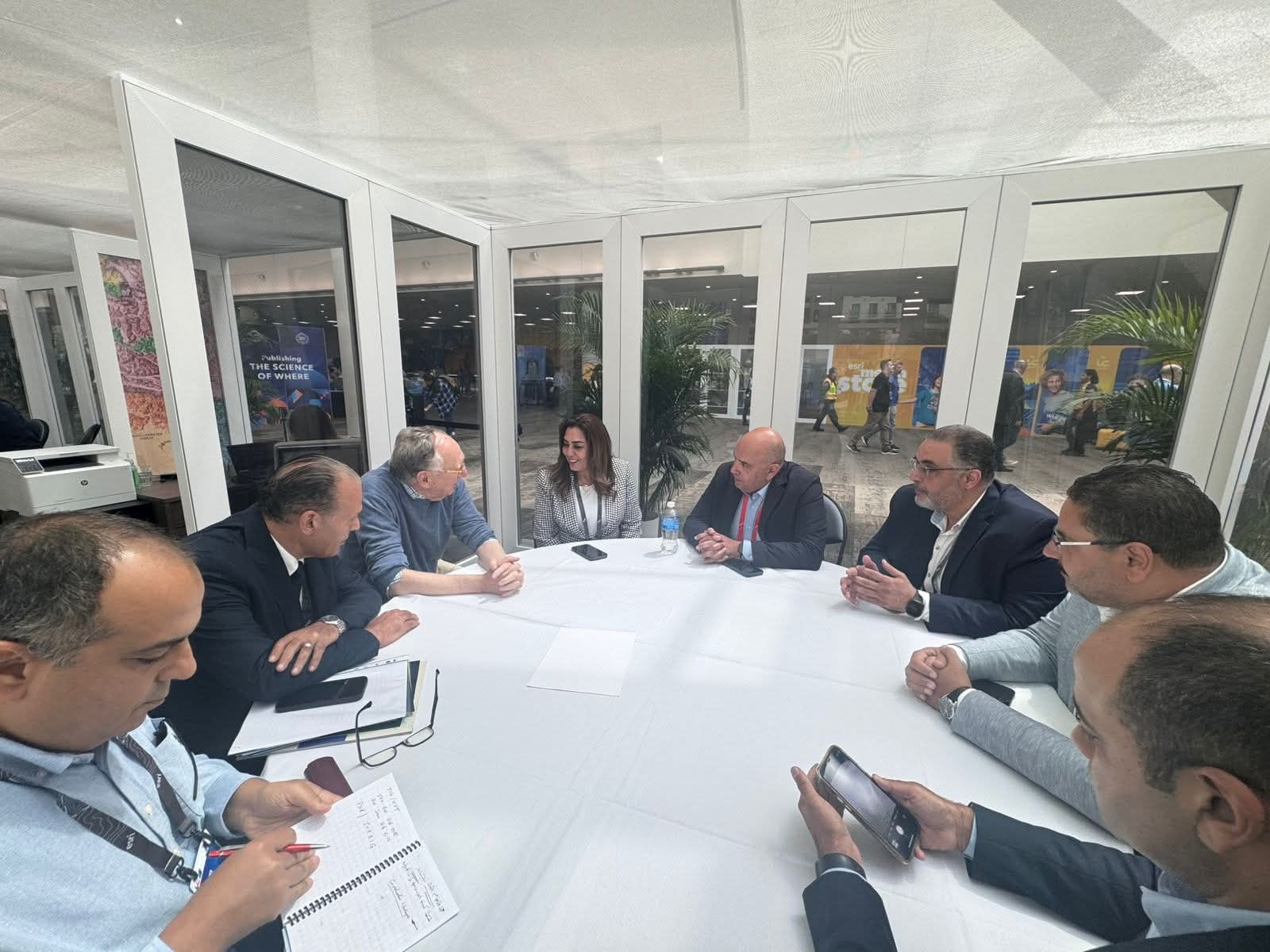
The meeting was attended by Dr. Hisham El-Helbawy, Assistant
Minister for National Projects; Ambassador Hossam Al-Qawish, Assistant Minister
for International Cooperation; and several representatives from Esri.
Dr. Awad emphasized that the Ministry of Local Development
is spearheading one of the most comprehensive spatial and economic development
efforts across numerous Egyptian villages and cities, efforts that require
advanced data-driven tools and technological capabilities.
She noted that geographic information systems have become
integral to planning, decision-making, evaluation, and local monitoring
processes. She said Esri is a strategic partner capable of supporting the
ministry in building a robust knowledge infrastructure for managing development
both locally and nationally.
Dr. Awad also highlighted the “Atlas of Egyptian Cities” as
a national platform built on spatial data to track urban performance
indicators, identify development gaps, and monitor climatic and demographic
shifts. She noted the ministry’s ambition to transform the platform into a
dynamic tool that offers predictive analytics, periodic updates, and informed
support for investment and policy decisions, leveraging Esri’s advanced
technologies.
The Minister further expressed interest in strengthening
collaboration with Esri across various strategic initiatives in Egypt’s
governorates, including solid waste management, land encroachment control,
local asset management, and spatial change monitoring.
Dangermond praised the ministry’s significant progress in
integrating GIS into its development plans and reaffirmed Esri’s commitment to
supporting Egypt’s efforts through tailored solutions, knowledge sharing, and
institutional capacity-building.